Public information

Public information and open data

Residents read the works and closures your officers see on your own roadworks site without signing in. Journey planners, sat-nav services and GIS teams take the same information from open data feeds.

Public information

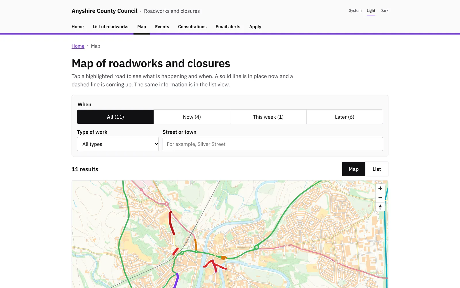
Your own roadworks site, with no sign-in, shows the same works and closures your officers see, in plain language.

  • A public map of roadworks, closures and events, and a page for each one with its dates and diversion.
  • Orders in force, and consultations where residents can comment online.
  • Email alerts for a street or area, confirmed by the resident and cancelled with one link.
  • Online applications with a tracking page the applicant can return to.
  • A map other websites can embed, and a display screen for a control room wall.
  • Visit counts kept without cookies.
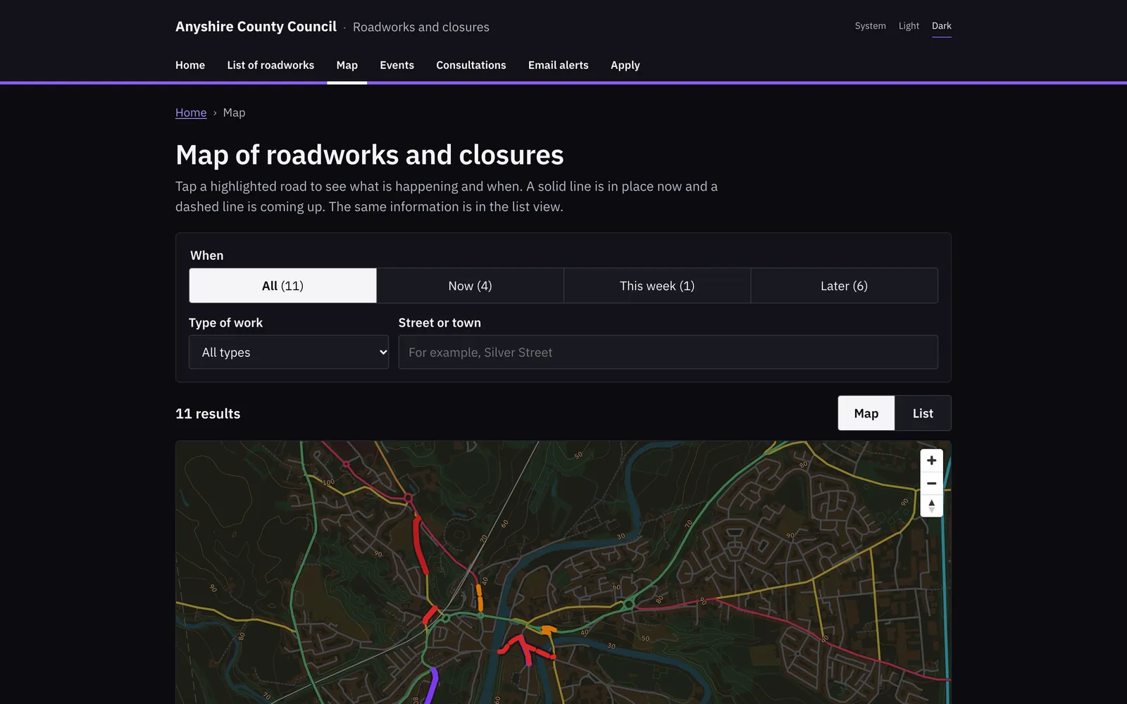
Fingerpost: Public informationFingerpost: Public information

Open data feeds

Journey planners, sat-nav services and traffic data services read your works from Fingerpost’s public feeds.

  • High-impact works as text, JSON and GeoJSON.
  • DATEX II for traffic data services and WZDx for work zone data.
  • Waze CIFS for sat-nav services and UTMC situations for journey planners.
  • Calendar feeds that officers and the public add to Outlook or Google Calendar.
  • OGC API – Features collections for GIS teams.

Works to

  • DATEX II v3
  • WZDx 4.2
  • Waze CIFS
  • UTMC
  • OGC API – Features
  • iCalendar

Network map and data

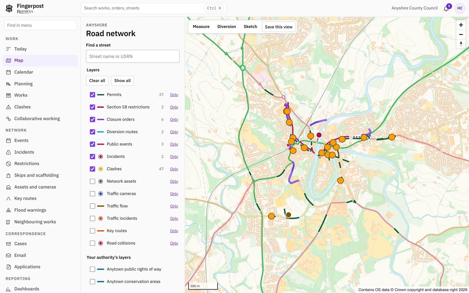
One map of your network with works, orders, events, incidents and assets on it. Officers start most tasks from the map.

  • Thirteen map layers that officers switch on and off, with a legend for each status.
  • Events and incidents recorded on the map and included in the clash check.
  • Key routes and bus routes, imported from the Bus Open Data Service, with journey times.
  • Environment Agency flood warnings and river levels, with an incident raised from a warning in one step.
  • Skips, scaffolds and section 50 licences on the same map as the works.
  • Sketches and traffic management plans drawn on the map with Chapter 8 symbols.
  • Your own layers added from WMS, WFS, GeoJSON, ArcGIS REST or XYZ tile services.
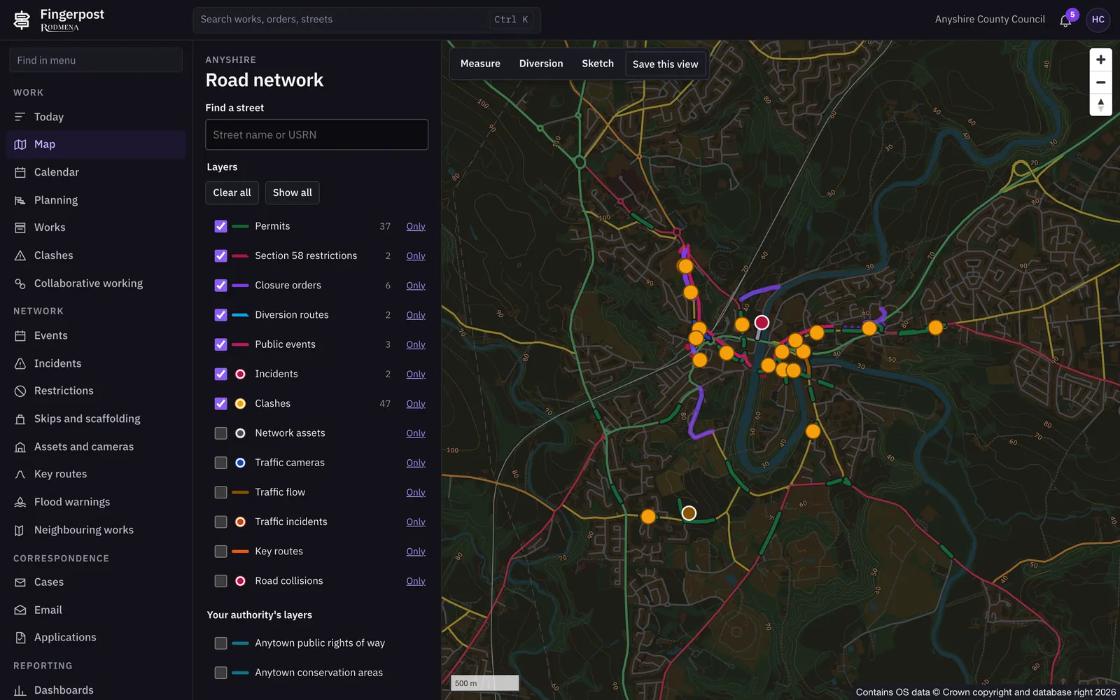
Fingerpost: Network map and dataFingerpost: Network map and data

See it with your own network

We show Fingerpost on a map of your area. Write to us and we will arrange a time.

Book a demonstration